Before an autonomous racing car can select a line, it must establish what the track looks like, where the vehicle is and how recently those statements were true. Perception is the engineering of that provisional account.
A useful world model is not a visually impressive reconstruction. It is an interface that gives downstream software enough information to make bounded decisions. Track boundaries, vehicle motion, obstacles and uncertainty belong in that interface. So do timestamps and explicit indications that an estimate is stale or unavailable.
Begin with the clock
A camera frame, a lidar scan and an inertial measurement rarely describe exactly the same instant. If software combines them as though they do, vehicle motion can appear as an error in the surrounding world. A scan collected while turning may need motion compensation before its points can be interpreted consistently.
The relevant timestamp is normally the measurement time, not simply the time a message arrives at a processor. Transport, buffering and computation all add delay. A system therefore needs a clear clock strategy, measured latency and an agreed response when synchronisation is lost. Faster processing cannot repair an observation whose age is unknown.
Make coordinates explicit
A point expressed in a lidar frame cannot be compared directly with a boundary expressed in a map frame. Every transformation needs a direction, a convention and a time. A small mounting error can shift distant features enough to matter even when the immediate image looks plausible.
ROS 2 provides communication and tooling, while the ROS REP 105 conventions explain useful distinctions between frames such as map, odom and base_link. These are architectural aids, not guarantees of correctness. A team still has to verify units, axes, transformation chains and behaviour after localisation resets.
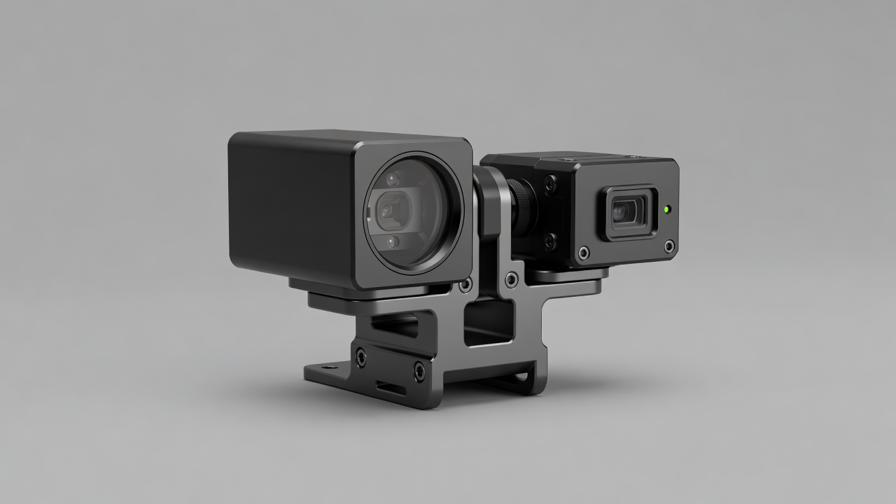
Mechanical inspection belongs in this discussion. A sensor bracket that moves under vibration changes the meaning of a previously correct calibration. Software diagnostics and physical mounting practice are therefore parts of the same measurement system.
Fuse evidence without erasing doubt
GNSS can provide a global reference; RTK GNSS can improve positioning under suitable correction and reception conditions. An inertial measurement unit describes rapid motion but accumulates error when integrated. Wheel-speed observations add useful constraints, although tyre slip complicates their relationship to ground speed.
A Kalman filter or a related estimator combines observations with a motion model. Its uncertainty should reflect assumptions about noise, bias and model quality. Low reported covariance is not proof of accuracy if those assumptions are wrong. Comparing innovations, checking consistency and recording rejected measurements help expose an estimator that has become confidently mistaken.
Localisation against a map introduces another dependency: the map itself. A moved cone, a changed barrier or an ambiguous repeated feature can make a familiar place appear different. Formula Student Germany and Formula Student UK offer relevant driverless engineering contexts, but their event rules and environments must be read directly rather than inferred from a generic perception architecture.
Represent what planning actually needs
Boundary detections should become a usable corridor only after association, plausibility checks and uncertainty handling. A single missed cone should not silently create a large opening in the track. Conversely, a false detection should not automatically become a permanent obstacle. Persistence and deletion rules need deliberate design.
Other vehicles require temporal reasoning. A detection identifies evidence at one instant; a track estimates identity and motion across several observations. Occlusion may break that continuity. The planner needs to distinguish an observed object, a predicted position and an unknown region rather than receiving all three as equally reliable geometry.
Uncertainty is not decoration around a world model. It changes which actions the model can justify.
End with a contract
The perception interface should state its update rate, maximum useful age, coordinate frame and invalid-state behaviour. A planning module can then reject an old corridor, increase clearance or request a controlled stop. Without that contract, each downstream component invents its own interpretation of missing data.
Recorded-data replay is useful for checking whether a revision changes detections or localisation. It does not reproduce the vehicle’s response to those changes, so it cannot replace closed-loop testing. Keep those two questions separate: whether the model describes the recorded evidence well, and whether decisions based on it remain safe when the car changes the next observation.
The next essay begins at this boundary. Planning receives a world model that is useful but incomplete, and must choose motion without pretending otherwise.